
St. Louis County Previous Residents Sources
Past residents leave different kinds of evidence. The county assessor and GIS establish the modern parcel anchor, while the Recorder/Registrar preserves the title side of the address. Duluth directories and census schedules help with household history, and maps or permits explain changes to the structure itself. None of these sources alone proves that an individual lived at the address. Keep the source role clear: an owner, grantor, grantee, permit applicant, directory occupant, or census household member may be a different person.
| Source | Years It Covers | Where Held | What It Shows |
|---|---|---|---|
| County assessor and GIS | Current data; historical aerials include 1937–40 and later years | County Property Search, Land Explorer, and GIS services | Parcel, physical address, legal and block context, assessment fields, and built-form context. |
| RecordEASE Abstract | Images October 1961–present; fully indexed from 1983 certification date | Recorder/Registrar online portal or public terminal | Recorded documents, grantor/grantee roles, legal description, plats, and title images. |
| RecordEASE Torrens | Images 1902–present | Recorder/Registrar portal or public terminal | Certificates of Title and live or canceled register material. |
| Duluth city directories | 1883–present stated; street listings from 1930; listed gaps | Duluth Public Library, in-library Ancestry, and Minnesota Digital Library | Address or name entries, businesses, and dated household clues. |
| Maps, permits, and census | Sanborn 1884–1949; federal census generally released through 1950 | Library, City of Duluth, NARA, and related archives | Building, lot, dated household, and property-history corroboration. |
For a recent property question, begin with the parcel and Recorder record. For a household question, start with the closest directory year that can search the address, then test that result against a census or newspaper source. Earlier research often needs the legal description because an address is not a permanent identifier.
St. Louis County RecordEASE Title Trail
RecordEASE is the county’s recorded-land route, not a resident list. It supports legal-description, tract-index, grantor, grantee, document-type, PIN, certificate, deed-book, and plat research. Online index and image access is subscription-based, while the Duluth Recorder/Registrar has a public terminal. An abstract document image can be available from October 1961 while the abstract index becomes fully indexed from the 1983 certification date. Torrens images reach to 1902, so choose the title system and era before judging a blank result.
The portal also rewards careful searching. First and last names are separate fields, document groups can narrow a result, and the percent sign works as a wildcard. The county advises against adding extra zeroes to a document or certificate number, and the plus sign can expand related image or document information. Record the document type, recording date, and the person’s role before adding it to a previous-residents chronology. A deed may reflect an easement, lien, release, trust, business, or agency rather than an occupant.
RecordEASE changed with the county’s new land-records management system, which went live March 9, 2026 after a March 2–6 pause for electronic and paper submissions. That notice concerns the current inquiry workflow, not a new historical data range. Note: the county describes Property Watch enhancements as planned, so do not treat an alert service as available unless the Recorder publishes an enrollment path.
St. Louis County Previous Residents Deed Chain
A chain of title runs backward from the current parcel record through dated instruments. The assessor’s last-sale fields can help narrow a search, but they are not the title history. Use the legal description, PIN, and each recorded instrument to make the next search more precise. When the online trail stops, the Recorder/Registrar, a local abstractor, or physical indexes may be the appropriate next source.
- Find the current parcel in the county Property Search or Land Explorer. Save the PIN, physical address, plat or legal description, and sale-date clue.
- Search RecordEASE by PIN or legal description, then locate the instrument tied to the current ownership change. Capture its recording date, document type, grantor, and grantee.
- Use the earlier party and the same legal description to locate the predecessor transaction. A person named as grantee on one document may become grantor on a later transfer.
- Repeat the dated handoff backward. Keep a short log of each instrument and flag any change in lot, block, plat, or legal wording instead of assuming it is the same parcel.
- At an index or image gap, stop the chain and consult the Recorder public terminal, tract or deed books, plats, or qualified title research. Mark the unresolved link.
- Grantor / grantee
- A grantor transfers an interest in a recorded document. A grantee receives that interest. Neither label by itself establishes residence.
- Chain of title
- A dated sequence of recorded transfers and related instruments for a parcel or legal description.
- Legal description
- The lot, block, plat, section, township, range, or other land description used in land records. It can bridge a renamed street or changed house number.
- PIN
- A parcel identification number used by county mapping and assessment systems to identify the land record anchor.
St. Louis County Directory-Year Pairing
Ownership is only one side of who lived here before. The Duluth house-history workflow starts with an address in a directory that has street listings, moves backward through years, and compares names or occupations with assessment, permits, maps, newspapers, and title research. It is a good way to place a directory entry beside an independent date rather than treating one listing as a continuous residency claim.
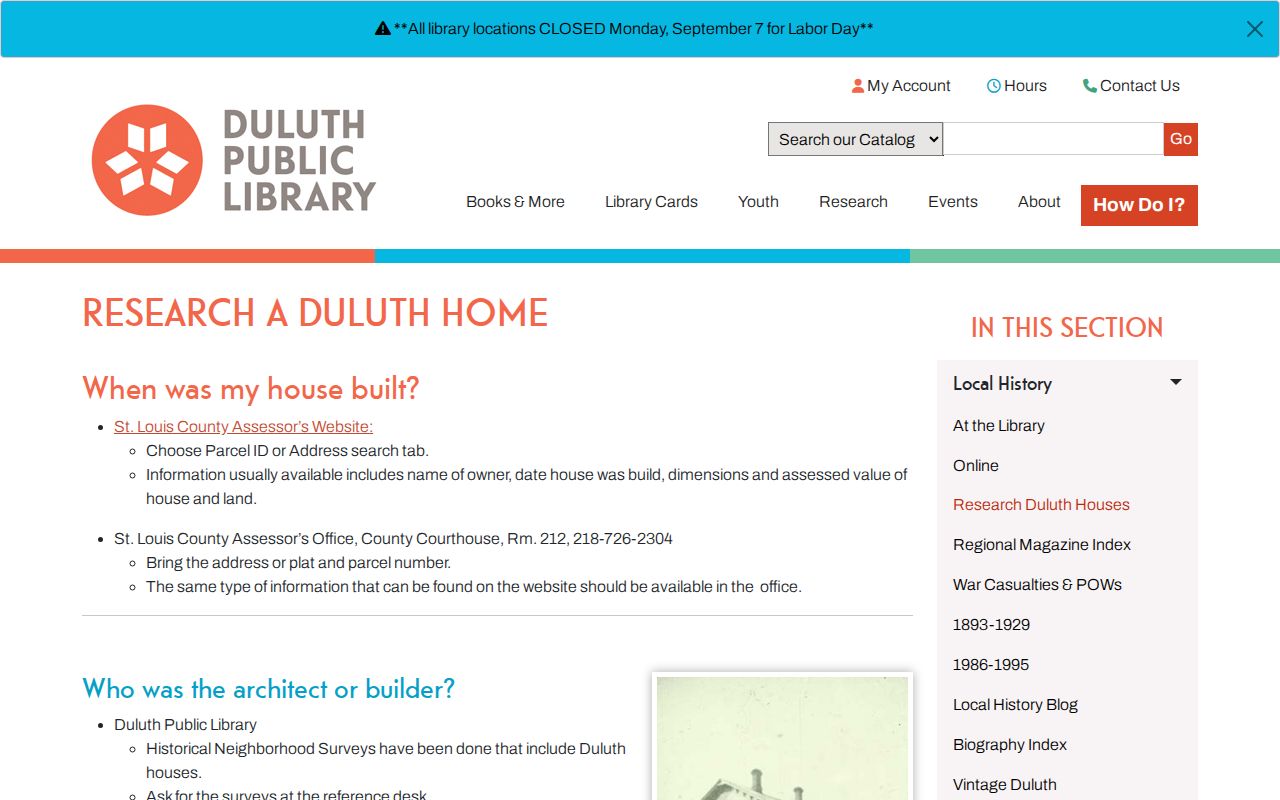
The library’s sequence keeps the address, building, and person evidence in separate lanes until their dates line up.
- Choose a directory year with a street listing or address-searchable later collection and record the exact volume, page or image, publisher, and address wording.
- Move backward or forward one available volume at a time. The missing-year list is evidence of a gap, not a reason to assume the same household continued.
- Pair a directory clue with the nearest released federal census. NARA identifies Duluth microfilming in 1927–1931, and the 1930 census is publicly available under the federal release rule.
- Use a newspaper, permit, deed, or obituary index to test dates between those snapshots. State the source that supports each connection.
NARA’s 1930 census guidance explains the release context and points researchers to access routes for that enumeration.
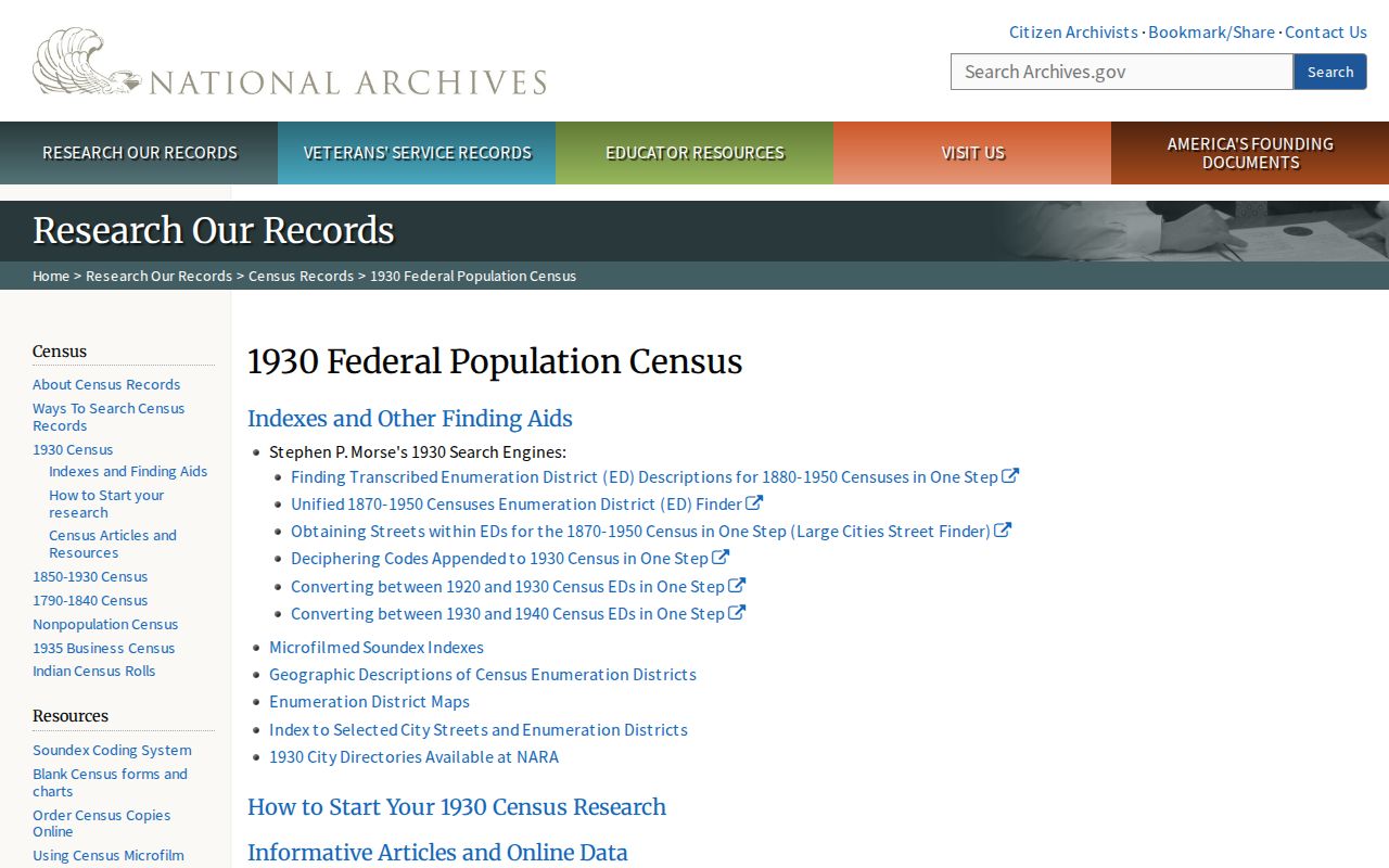
A census entry supplies a dated household snapshot, not proof that everyone in the household occupied the address before or after enumeration.
Duluth’s 1930 Street-Listing Shift
The directory method changes at 1930. Duluth Public Library identifies that volume as the first street-by-street directory. Earlier volumes are primarily alphabetical resident and business lists, so an address-first search needs an independent name or street connection. Later North Shore Room directories can support address searching, while the earlier microfilm is not address-searchable. The related Directory Book page focuses on those collections and how to read their entries.
Use the gaps openly. The library lists no Duluth volumes for 1919, 1933, 1945, 1947, 1949, 1953, and 2008. A neighboring directory year, an obituary or death index, a permit, census, newspaper, or archive can bridge a missing volume, but it cannot turn the run into an annual record. Pre-1930 research may also require an alphabetical name search and the parcel’s legal description.
NARA’s city-directory guidance for the 1930 census identifies Duluth microfilming in 1927–1931.
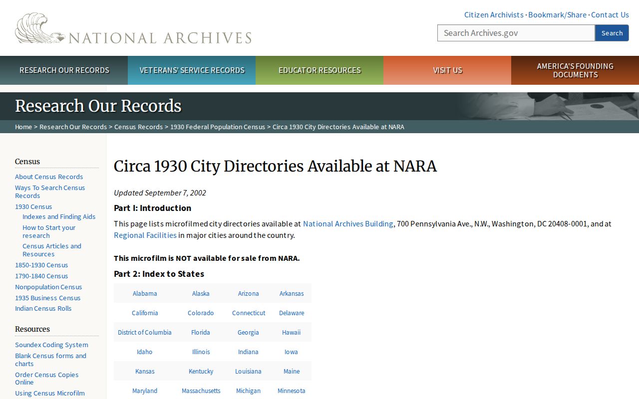
That timing makes a directory and census pair especially useful for testing one dated address connection.
St. Louis County Previous Residents Maps
Historic maps explain the setting behind an old address. The May 1884 Library of Congress Duluth Sanborn set has 18 sheets, and local holdings include Sanborn material from 1884–1949, the 1892 Rascher map, and 1890, 1902, and 1924 atlases. These maps can show a building footprint, material, lot, nearby structures, and street context. They do not name a household, so use them to confirm a place, not to identify a resident.
Duluth Preservation Alliance’s property-research sequence shows the same local pattern: work backward through directories and combine them with maps, newspapers, clipping files, and title research.
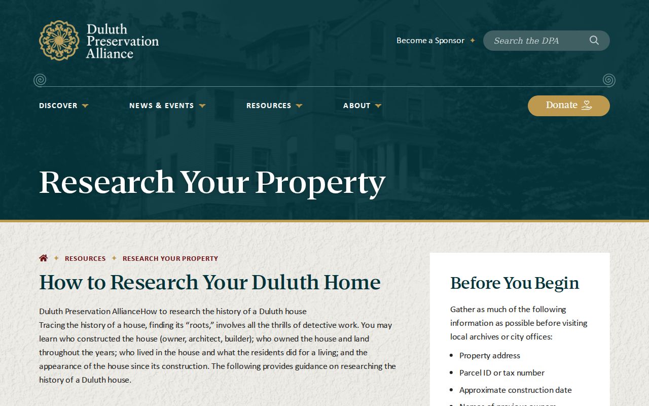
Map sheets and atlas pages are strongest when cited by date and page beside the parcel or street information they corroborate.
Duluth Permits and Property History
For a Duluth address, the city’s permit and property-history route provides ePlace history, with sign-in needed for more information. Construction Services directs requests for records older than 1992 to 218-730-5240 or permittingservices@duluthmn.gov. Building Safety is at City Hall, Room 100, and older blueprints may identify a first owner, architect, builder, materials, or additions. Those are property-history leads, not an occupant list.
The local guide also points to the county assessor in Courthouse Room 212 for a building’s owner, date-built, dimensions, and assessment context. Use a permit or blueprint date to explain the building chronology, then look for separately dated directory or census evidence before associating a household with it.
The City of Duluth property-history page sets out the ePlace and older-records route.
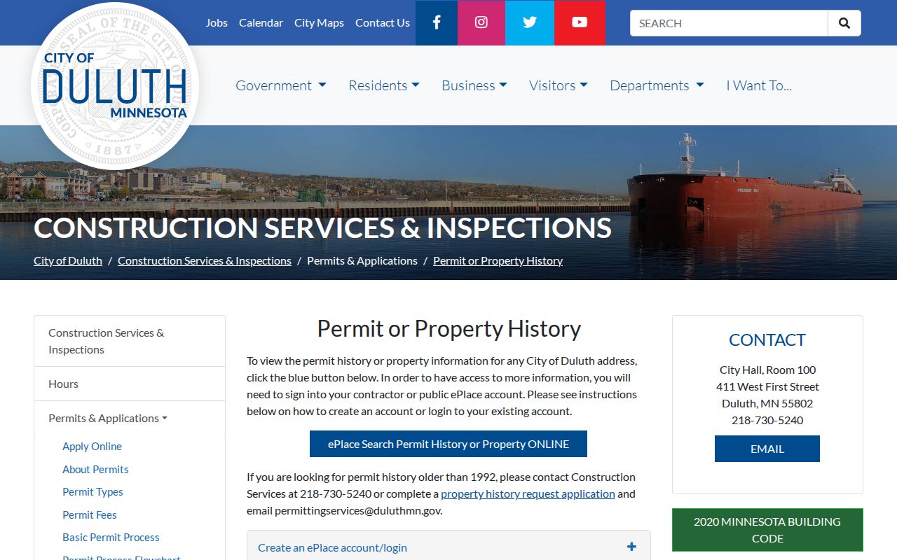
A dated permit result can explain a remodel or addition that changes how a historic map and later address record should be read.
St. Louis County House-History Geography
A county genealogy request can be useful when an index gives only a partial name or date. The county asks for details such as the requester’s contact information, approximate event date, full name, parent’s name, nationality, and place. The Duluth office may offer a volunteer genealogist appointment on Thursdays, with a call ahead and separate research charges possible. This is a human-assisted route for a specific historical question, not a shortcut around access rules.
Where records live also matters. Recorder and vital service points span Duluth, Virginia, Hibbing, Ely, and Cook, while the historical-directory and map collections have their own library or archive holdings. A record request should follow the record type and location, especially in a county where urban addresses, rural townships, lakes, and separate service centers produce different paper trails.
St. Louis County Past Household Evidence
Duluth Public Library’s online local-history leads include the Duluth Area Obituary Index, 1944–present, and the St. Louis County Death Index, 1870–2000. A death or obituary entry can locate a date, certificate number, or newspaper lead, but it does not establish every address where a person lived. The Minnesota Digital Library’s 1922–23 Duluth directory is another dated snapshot with firms, private citizens, classified listings, and civic institutions.
Build a restrained timeline: title role on a deed, directory address in a named volume, household in a released census, permit or blueprint date, then any obituary or archival reference. If evidence conflicts, preserve both citations and the uncertainty. Note: a directory occupant, tax mailing recipient, property owner, and permit applicant are distinct record roles.
Lawful use. Previous-resident research is appropriate for family history, estate and heir work, house history, and personal curiosity. Do not use old or current records to track, harass, intimidate, or harm a living person.
St. Louis County Previous Residents Limits
Minnesota’s Government Data Practices Act, Minn. Stat. § 13.03, makes government data public unless another law classifies it differently. That does not require an agency to create a reconstructed occupancy list. Some data remain restricted, including Safe at Home participant locations and portions of vital or court records. Ask the responsible authority for the classification and accept redactions or an explanation when a record is withheld.
Every historical answer needs a source date. The county GIS warns its data are supplied as-is, and land or tax displays are not surveys, abstracts, title opinions, or appraisals. A diligent trail may still end at an unindexed book, a changed legal description, an inaccessible image, or a missing directory year. A documented stop is more accurate than a guessed connection.