
St. Louis County ZIP Codes and Coverage
St. Louis County’s Health Status Report groups local ZIPs for planning and says plainly that ZIP codes do not follow county boundaries. The table preserves the report’s area labels without turning them into a current postal crosswalk. The research did not verify a complete current post-office crosswalk for every county ZIP. Use USPS for the current postal result for a real address.
| ZIP | Areas Covered | Post Office | Notes |
|---|---|---|---|
| 55802, 55803, 55804, 55805, 55806, 55807, 55808, 55810, 55811, 55812 | Duluth area and Zone D groupings in the county report | Duluth-area label only; verify the address with USPS | Report grouping, not a current USPS crosswalk |
| 55746, 55781 | Hibbing, Zone H | Hibbing-area label; verify current USPS delivery result | Area label is not an asserted post-office assignment |
| 55703, 55723, 55725, 55732, 55740, 55771, 55782, 55790 | Zone N, including Cook | Cook is named by the report; other output must be verified | ZIPs may cross county or municipal lines |
| 55702, 55711, 55717, 55724, 55736, 55755, 55765, 55766, 55779 | Zone S, Floodwood grouping | Floodwood-area label; verify with USPS | Report uses planning geography |
| 55710, 55713, 55719 | Zone W | Not verified in the research | Confirm before attaching to a parcel |
| 55602, 55705, 55706, 55708, 55750; 55738, 55751, 55758, 55768, 55773, 55799 | Zones E and C | Not verified in the research | Keep report zone separate from delivery city |
| 55701, 55791 | Embedded small areas within 55810 and 55811 in the report | Not verified in the research | Report describes zero-population embedded ZIPs; verify before use |
The report’s total covers 199,249 people across its ZIP and zone grouping. It is a local planning source, not a live delivery directory. A post-office city should be attributed to a USPS result, not inferred from a health-report zone.
Duluth ZIP Code Groupings in St. Louis County
The local report places 55803, 55804, 55805, 55807, 55808, 55810, 55811, and 55812 in its Duluth-area row, with 55806 and 55802 in Zone D. That gives a useful county-scale way to organize an address question, especially in a county with Duluth urban areas, rural townships, lakes, and ZIPs that cross boundaries. It does not say that every address carrying one of those ZIPs is inside the City of Duluth.
Use the ZIP as a geographic starting point. Next, validate the specific mailing address through USPS, then check the county parcel or address point if a physical location is involved. A parcel’s physical ZIP, tax mailing address, city field, and legal description can disagree for ordinary administrative reasons.
Hibbing Cook and Rural ZIP Geography
County scale matters here. The report identifies the Hibbing grouping as 55746 and 55781, and its Zone N row includes Cook with 55703, 55723, 55725, 55732, 55740, 55771, 55782, and 55790. Zone S is identified with Floodwood and lists 55702, 55711, 55717, 55724, 55736, 55755, 55765, 55766, and 55779. The remaining Zones W, E, and C carry their own listed ZIPs.
These lists retain real county vocabulary while avoiding a false claim about current mail delivery. They should guide a map or report search, then yield to USPS for an individual address. The county’s 6,247.57 land square miles help explain why one county label cannot replace a delivery, parcel, township, or municipality check.
USPS ZIP Code Lookup Fields
USPS ZIP Code Lookup is the primary current delivery check. Its By Address route requires a street address plus city and state; company, apartment or suite information, and ZIP are optional. By City and State requires those two fields, while Cities by ZIP requires a ZIP. USPS says its result does not confirm a person or company, which is why it belongs at the front of a geography workflow, not at the end of an identity claim.
| USPS route | Required fields | Optional fields | Use |
|---|---|---|---|
| By Address | Street address, city, state | Company, apartment or suite, ZIP | Check a current delivery-standardized result |
| By City and State | City and state | None stated in the research | Find ZIP candidates for a city label |
| Cities by ZIP | ZIP | None stated in the research | Review city labels attached to a ZIP |
The USPS lookup screen shows the separate address, city-state, and ZIP paths.
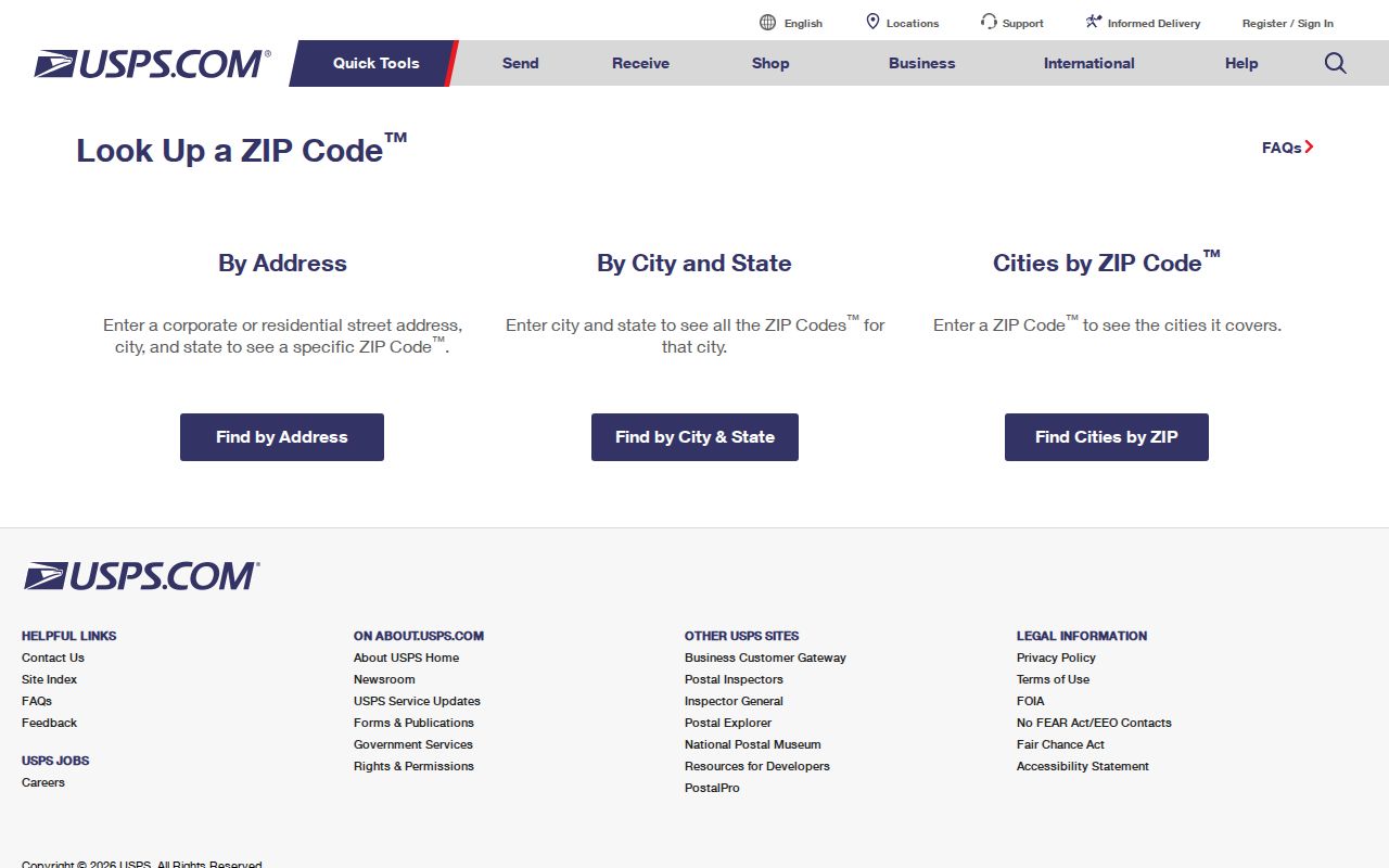
The separate forms make it clear that a ZIP is a delivery clue. It does not identify an occupant, owner, or organization at the address.
St. Louis County ZIP Map Geographies
County GIS and Census mapping answer different questions. The county administrative-boundaries service identifies a ZIP layer with a ZIP_CODE field. It is a mapped administrative geography, not a USPS delivery-rule substitute. Census 2020 TIGER/Line files and the ZCTA service expose ZCTA5 or GEOID, area, water, centroid, unit-count, and population fields. A ZCTA is a statistical approximation of ZIP geography, not an exact delivery boundary.
Census TIGER/Line files are appropriate when the question concerns geographic comparison or Census analysis.
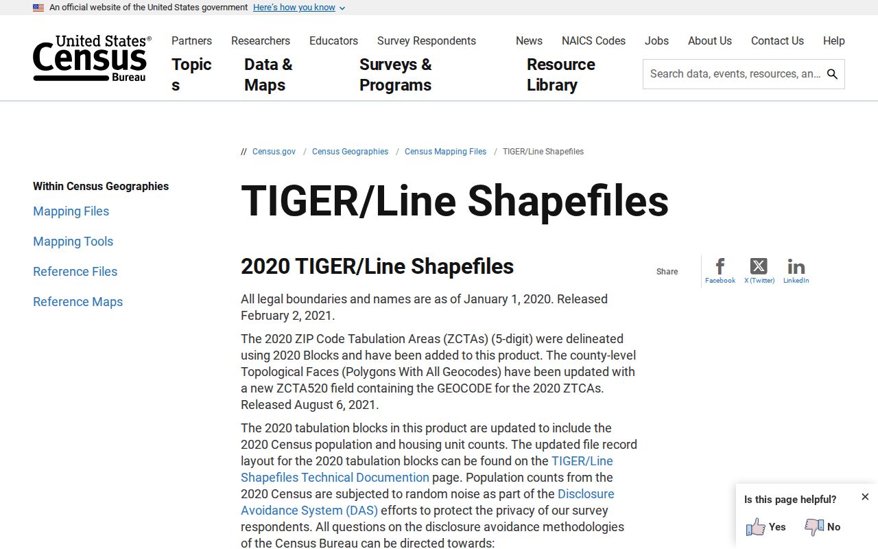
TIGER/Line provides a statistical boundary reference. It should not override the USPS result for current delivery.
The Census ZCTA service provides the related mapped statistical layer.
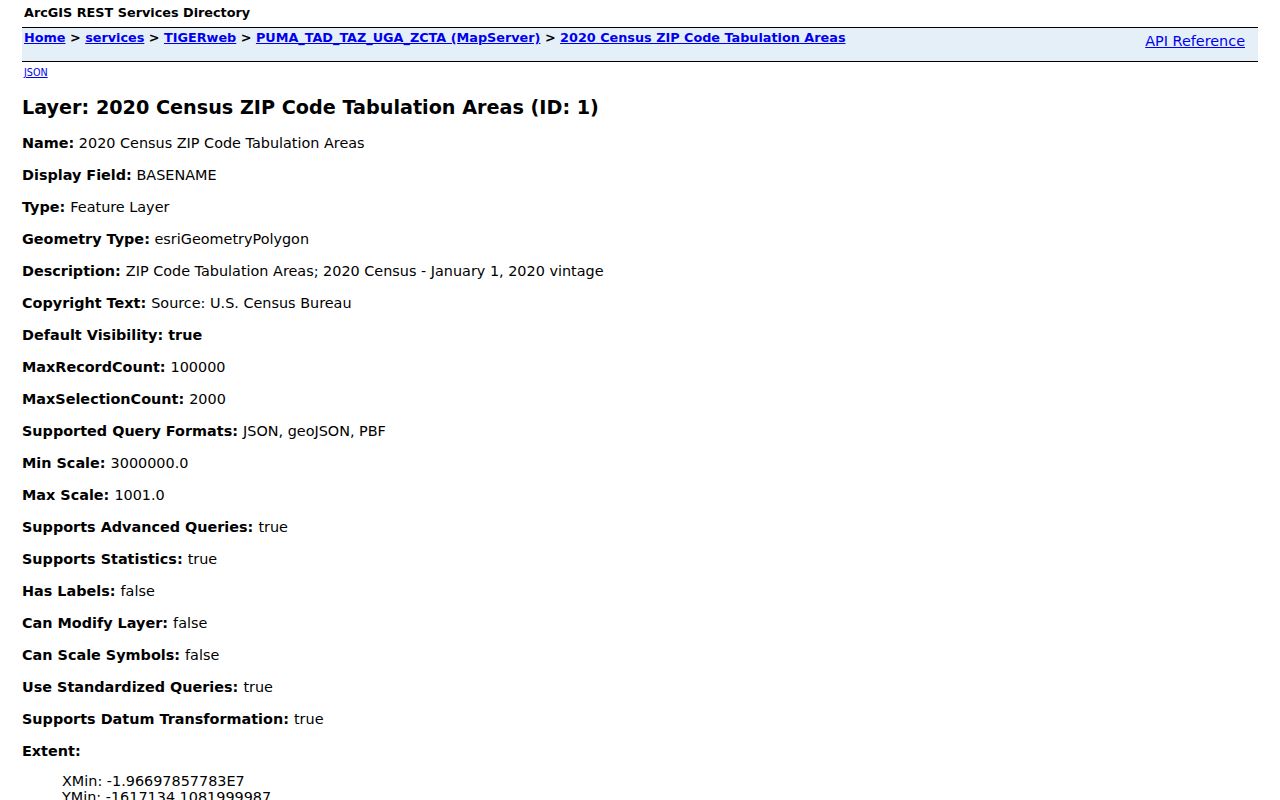
The ZCTA service helps compare population and area fields, while the county parcel and USPS systems retain their separate roles.
Find Places Within a St. Louis County ZIP
No verified ZIP filter was located in the St. Louis County Assessor Property Search. Its verified controls are parcel ID, address text, plat, last recorded sale date or price, year built, gross area, style, units, and city. Do not imply that it can produce a ZIP-wide resident roster. The county GIS ZIP layer and USPS field search are the documented geographic tools; assessor and GIS parcel records then provide address or parcel context.
- Run the specific mailing address through USPS and save the current city, state, and ZIP response date.
- Compare the location with the County Land Explorer address point or parcel map when the question concerns physical geography.
- Use the administrative ZIP layer for county mapping, and use a Census ZCTA only for its statistical purpose.
- Use the Assessor Property Search by verified address or parcel ID, not as a ZIP-based people search.
- Once a place is narrowed to a street, use the St. Louis County Street Directory for the address-record workflow.
This sequence leaves the ZIP in its proper role: a location filter. A GIS or assessment result can describe a parcel but does not prove that any person lives there.
St. Louis County Addressing and Delivery
The Sheriff’s 911 Communications Addressing Division assigns new addresses through building or septic permitting, a site sketch, and measurements along the road to the driveway. It sends an address-notification letter. The post office then establishes the delivery route and mailbox placement. County guidance says the tax mailing address receives a sign in about two to three months, while the owner maintains the sign hardware. These are separate administrative steps, so physical address, mailing address, city, and ZIP can diverge.
County 911 addressing guidance explains the address-point route.
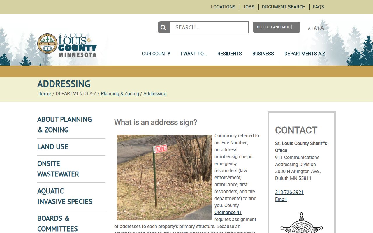
The county address process supports a map point and a physical location. USPS remains the source for current delivery-standardized city and ZIP information.
St. Louis County ZIP Code Terms
Using the correct label keeps a ZIP search from overreaching. These terms identify geography and delivery designations, not people.
- ZIP versus ZIP+4
- A ZIP identifies a broader postal area. ZIP+4 adds a more specific delivery segment to the ZIP, but neither proves an individual’s presence.
- PO box ZIP
- A ZIP assigned for post-office box delivery. It should not be treated as a physical parcel boundary unless the postal source says so.
- Unique ZIP
- A ZIP used for a single organization or delivery arrangement. The research did not verify a current unique ZIP list for the county.
- Carrier route
- A postal delivery sequence. It is not the same as a municipal, Census, or county administrative boundary.
St. Louis County ZIP History and Limits
The local health report labels 55701 within 55810 and 55791 within 55811 as small, zero-population embedded areas. It also lists 56649, 56669, 55796, 55616, 55720, and 55798 as deleted ZIP or area entries. Those are historical or report labels, not current delivery assertions. Verify every current address directly through USPS before using an embedded or historical number in a record search.
The County administrative-boundaries service supplies the mapped ZIP layer for the county comparison.
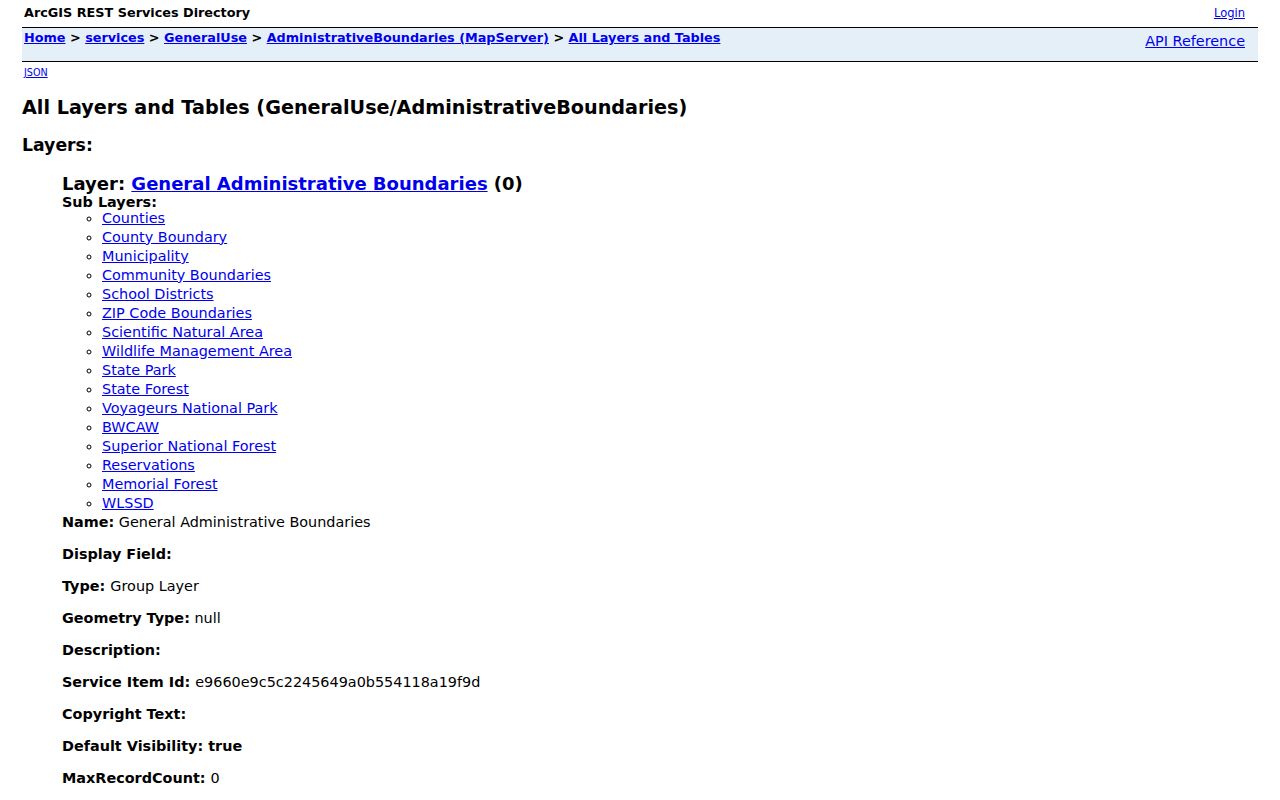
The county layer is useful for seeing local spatial relationships. It remains distinct from the USPS delivery result and does not establish municipal limits or residency.