
Walk a St. Louis County Street
Start with the full address, including direction, street type, city, and ZIP if known. First validate the delivery form with USPS. Next, open County Land Explorer or the Assessor Property Search to identify the physical address, PIN, and mapped parcel. Move from the parcel to RecordEASE only when the question concerns a recorded instrument or title role. Then use a dated Duluth directory, permit history, map, or library finding aid for historical context. This sequence keeps the St. Louis County street directory tied to the kind of evidence each source supplies.
- Confirm the current delivery address with USPS, without treating its result as person confirmation.
- Search Land Explorer by address or PIN and identify the parcel and blue address point.
- Check Assessor or Parcel Tax Lookup fields for property context.
- Search RecordEASE by PIN, legal description, document type, or party role where a recorded instrument is needed.
- For a prior year or civic question, use the dated library source, election office, or data-practices route that fits it, and record its date.
The order matters. A current parcel result should not silently replace an older street listing, and an old directory entry should not be presented as proof of a current household.
Search St. Louis County Parcels
Assessor Property Search accepts address text and a parcel ID split into CVT, plat, and parcel. Its advanced filters include last recorded sale date and price, year built, gross area, style, units, and city. The county suggests broadening an address search with a piece such as a house number or directional street name when an exact form returns nothing. These are property assessment controls, not a street roster.
| Assessor field | Street-directory use | Limit |
|---|---|---|
| Address text | Find a candidate parcel along a street | Formatting can vary |
| CVT, plat, parcel | Open a known parcel | Does not identify occupants |
| Sale date / price | Narrow property results by recorded-sale filters | Not a full title history |
| Year built / area / style / units | Compare built characteristics | Not a person field |
| City / plat | Refine a place-based search | May differ from postal geography |
The county property-information page explains the official assessment route and its daily updates.
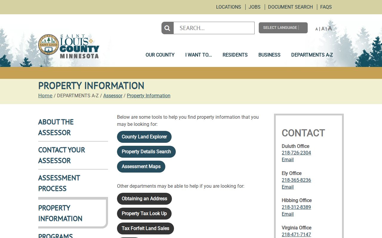
This source gives a St. Louis County street directory search a current property context before a researcher moves to a different record type.
Map St. Louis County Address Points
Land Explorer is the county’s strongest spatial starting point. It can search an address, PIN, lease PIN, subdivision plat, or PLSS information. After accepting the disclaimer, enter a PIN in the upper-right search and use the magnifying glass to zoom to the parcel and blue address point. The left magnifier supports other criteria. Desktop tools also include tax parcel, plat, township-range-section, layers, draw, measure, bird’s-eye, print, scale, and coordinates.
Its public layers make it possible to compare a parcel with road centerlines, lots, blocks, subdivisions, zoning, voting precincts, school districts, commissioner districts, and historical aerials. That is geographic context. A shared road or map boundary does not establish a personal relationship or a shared household.
The county’s GIS web-services page lists address points, cadastral layers, roads, zoning, and 1937–40 through recent aerial imagery.
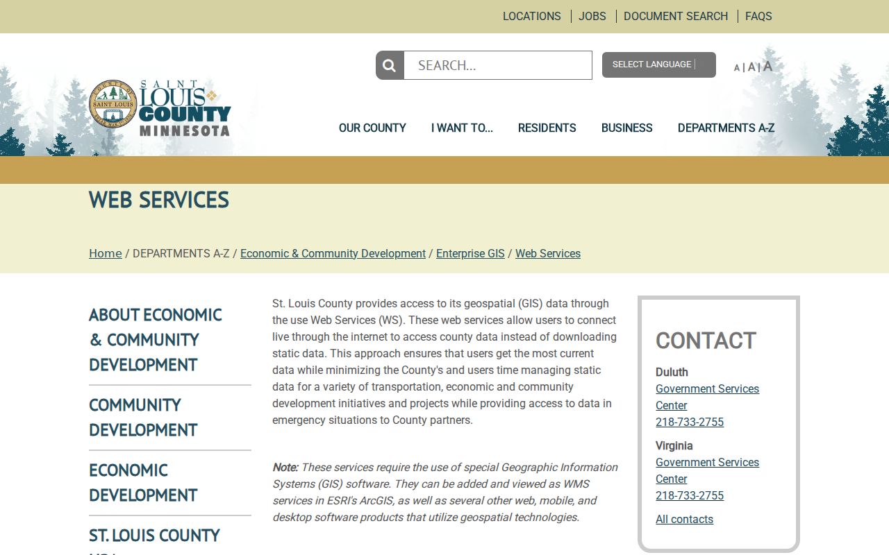
The GIS layers help the St. Louis County street directory distinguish a physical location from a delivery name, an old footprint, or a legal parcel description.
St. Louis County Street Record Coverage
No one address record answers every question. Use the coverage below to choose the next source after a street or parcel is found. Record the year and the person role exactly as displayed.
| Address record | Street-level value | Access route | What it cannot establish |
|---|---|---|---|
| USPS ZIP Lookup | Current delivery-standardized address, city, state, ZIP | Public web lookup | USPS says it does not confirm a person or company |
| Assessor / Parcel Tax | Parcel, physical and mailing fields, assessment context | Public web tools and county offices | A current occupant |
| Land Explorer / Open Data | Address point, parcel, lot, block, plat, road, districts | Public map and service | A household list |
| RecordEASE | Recorded parties, PIN, legal description, documents | Paid online, Recorder terminal, abstractor | Residence from a document role alone |
| Duluth directories | Printed address or person entries by volume year | Library, in-library databases, collections | Continuous coverage or a current address |
| Duluth ePlace | Permit or property-history chronology | Online entry, sign-in for more, request for older files | Every person who occupied a site |
The Parcel Tax Lookup offers address, parcel ID, lake, plat, and section-township-range modes.
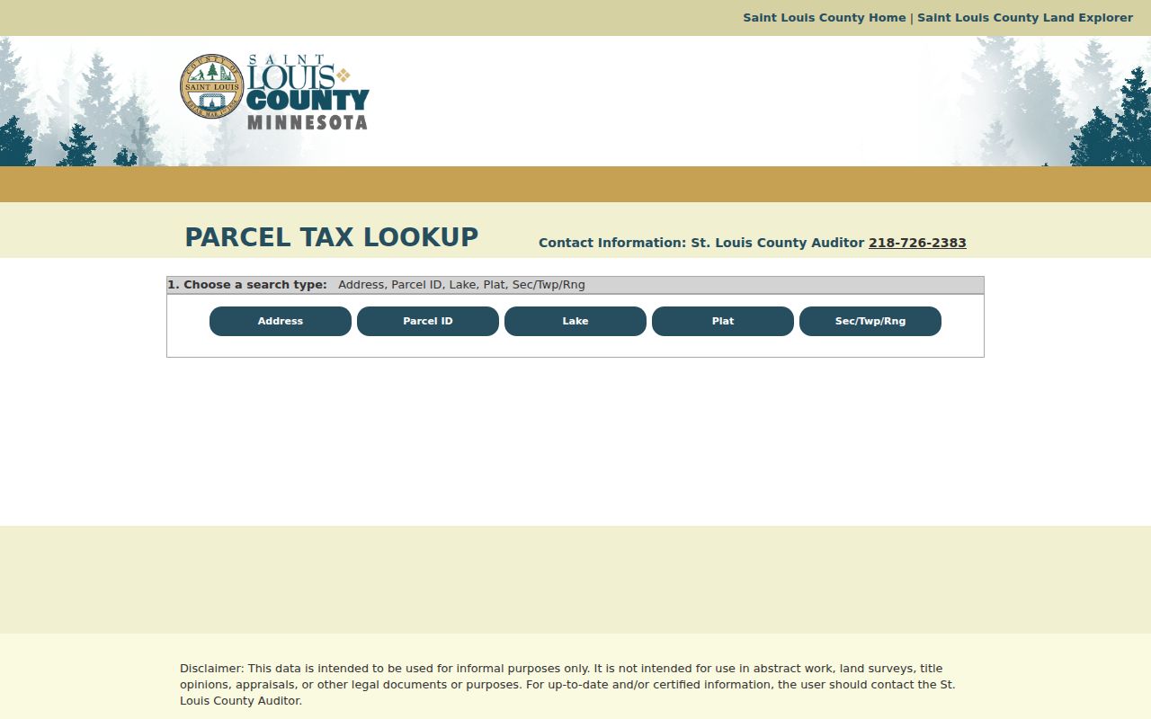
Parcel Tax Lookup is useful for a St. Louis County street directory place search, but the county says it is for informal use and is not an abstract, survey, title opinion, or appraisal.
Read St. Louis County Parcel Terms
Street research gets more reliable when the field label stays with the value. County GIS can show both physical and tax-mailing fields, while a legal description may be more stable than a street name that has changed.
- Parcel
- A county land unit identified by a parcel number, map geometry, and related assessment fields.
- Situs address
- The physical or property location shown by a parcel system. It can differ from a mailing address.
- Plat
- A recorded subdivision reference that helps locate lots and blocks.
- Directory entry
- A dated printed listing of a person, business, or address, not a present-day status record.
County Open Data fields such as PHYSADDR, PHYSCITY, PHYSZIP, LEGAL, PLDESC, LOT_NBR, BLOCK_NBR, and PLATNBR are useful bridges when a modern street string fails. Owner, tax, and mailing fields must remain distinct from them.
Follow St. Louis County Permit History
Duluth Construction Services provides ePlace permit and property history by address. Basic history begins through the city route, and sign-in can expose additional detail. For material before 1992, the city directs searchers to Construction Services through the property-history request route. A permit can document project timing, a named applicant, or an older building file. It does not identify all people who lived at an address.
For house-history work, the Duluth library route also points to building-safety files, older blueprints, clipping files, Sanborn maps, atlases, newspapers, UMD collections, and title research. The useful result is a dated chain of place evidence rather than an unsupported claim about a household.
Use St. Louis County RecordEASE
After a parcel is identified, RecordEASE can search the recorded land trail by legal description, grantor, grantee, document group or type, PIN, certificate, book and page, tract index, or plat. Online access is subscription based, while the Recorder’s office offers a public terminal. For a difficult title question, a local abstractor is another documented route.
RecordEASE’s coverage has separate milestones: Torrens images reach 1902, abstract images reach October 1961, and abstract documents are fully indexed from the 1983 certification date. The county’s new land-record system went live March 9, 2026 after a March 2–6 submission pause, so current inquiry behavior may differ from earlier instructions. Search first and last names separately. Avoid extra zeroes in a document or certificate number. The plus sign can expand related images or document information. Those techniques locate a recorded instrument, not an automatic occupant history.
The official RecordEASE portal displays the county land-record access point.
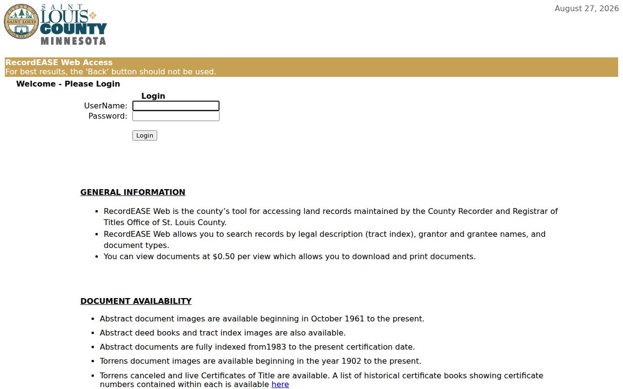
In a St. Louis County street directory workflow, copy the document type, recording date, legal description, and named role before moving to a separate source for address or historical context.
Read Duluth Streets by Year
Duluth Public Library reports city-directory holdings from 1883 to the present. The 1930 volume is the first street-by-street directory. Earlier books are mainly alphabetical person and business lists, so a pre-1930 address question may require an independent name link, a legal description, a title record, or a map before a directory can help. Later North Shore Room directories are address-searchable; earlier microfilm is not.
When a directory entry is found, note the exact street spelling, number, direction, suffix, year, publisher, page, and whether the entry names a person, business, or institution. The full historical shelf belongs to the Directory Book, but its 1930 address-first shift is essential to a street search.
Check St. Louis County Address Gaps
The library lists missing Duluth directory years: 1919, 1933, 1945, 1947, 1949, 1953, and 2008. A current address can also fail in an older source because of a renamed or renumbered street, annexation, a changed ZIP, rural-route delivery, a multi-unit structure, a vacant parcel, a demolished building, or a different mailing address. No county-maintained historic renumbering table was verified in the research.
Before concluding that an address has no older trail, test nearby years and common abbreviations, search the alphabetical section, review a historic map, and check the parcel’s legal description. County historical aerial layers from 1937–40 and later years can show built-environment change, not a person’s identity.
Separate St. Louis County Address Roles
A parcel owner, tax mailing name, physical address, directory occupant, permit applicant, and voter field serve different administrative purposes. The county GIS schema may expose owner and mailing fields, but no verified current-occupancy field was located. A municipal entity can also be the owner or tax name for a parcel. Treat every person label as a role in that record, on that date.
County 911 Addressing adds another layer. The Sheriff’s 911 Communications Addressing Division assigns an address through a building or septic permit, site sketch, and road-to-driveway measurement. The post office determines delivery city and ZIP, while the property owner installs and maintains the sign. The county says a sign is sent to the tax mailing address in about two to three months. This explains why physical, mailing, delivery, and legal fields may disagree.
Request St. Louis County Address Data
When a needed city record is not published online, use the Duluth data-practices route and describe the existing record, address, date range, and whether inspection or copies are wanted. Minnesota’s Government Data Practices Act, Minn. Stat. ch. 13, especially § 13.03, makes government data public unless classified otherwise. Inspection is free, copies may cost actual retrieval or copying expense, and an agency does not need to create a custom street list.
For county-held material, contact the responsible county office. Ask for a classification explanation if part of a record is withheld. This preserves the legal access route without turning a focused address question into a broad demand for private or protected information.
St. Louis County Street Directory Limits
No official St. Louis County street directory produces a complete, current list of every occupant. USPS does not confirm a person or company. Assessor and GIS records describe property and map fields. Recorded documents identify roles in land instruments. Voter-list access has statutory certifications and publication limits. City directories are dated publications with known gaps. Court, vital, and Safe at Home data have separate restrictions.
Lawful use. Use street and address records for personal, civic, family-history, property, or other lawful research. Do not use them to stalk, harass, intimidate, or harm anyone, and do not publish protected addresses or try to infer them from other records.
A sound result says which source was used, what date it represents, and whether it shows a parcel, document role, address point, printed directory entry, or permit history. It leaves unknown details unknown.